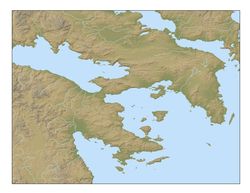
Sample basemap
A new resource for sharing maps and spatial data is now available through this web page of the Corinth Excavations. While the area of emphasis is the Corinthia, coverage for much of the data extends to the whole of Greece. A variety of nine color and black and white, high resolution TIFF images are offered for download. These are intended to be finished by marking and labeling with an image editor like Photoshop. Users of GIS software can download shapefiles or follow a collection of links to websites that are dedicated to sharing free spatial data. Samples from screen shots of GIS software are below.